Museum Quality Print
Available in multiple sizes & formats
Share this artwork:
Artwork Details
Year
1650
Era
Baroque
Collection
Wikimedia Commons
Medium
Hand-colored engraving
Explore by Subject
About This Artwork
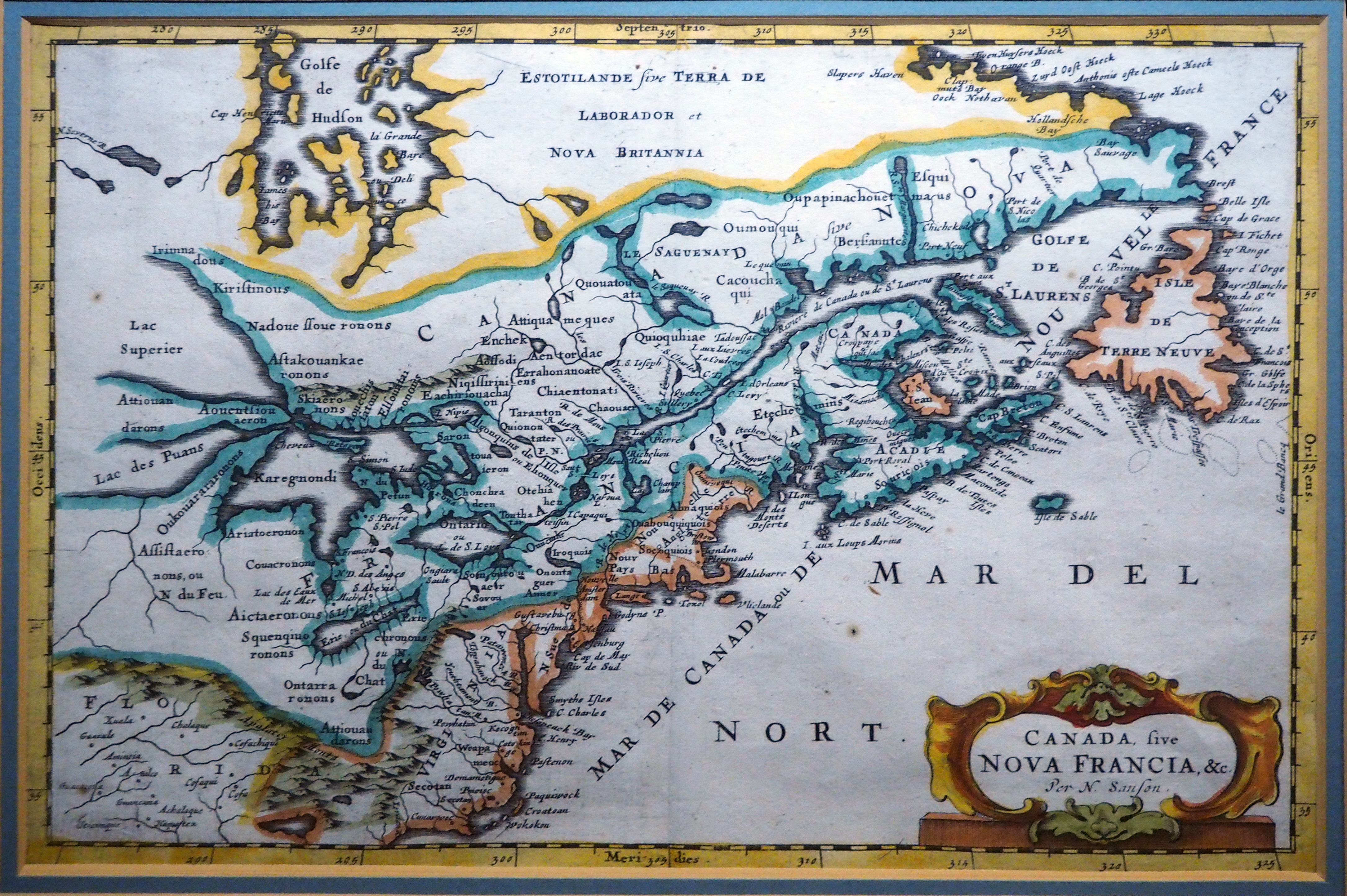
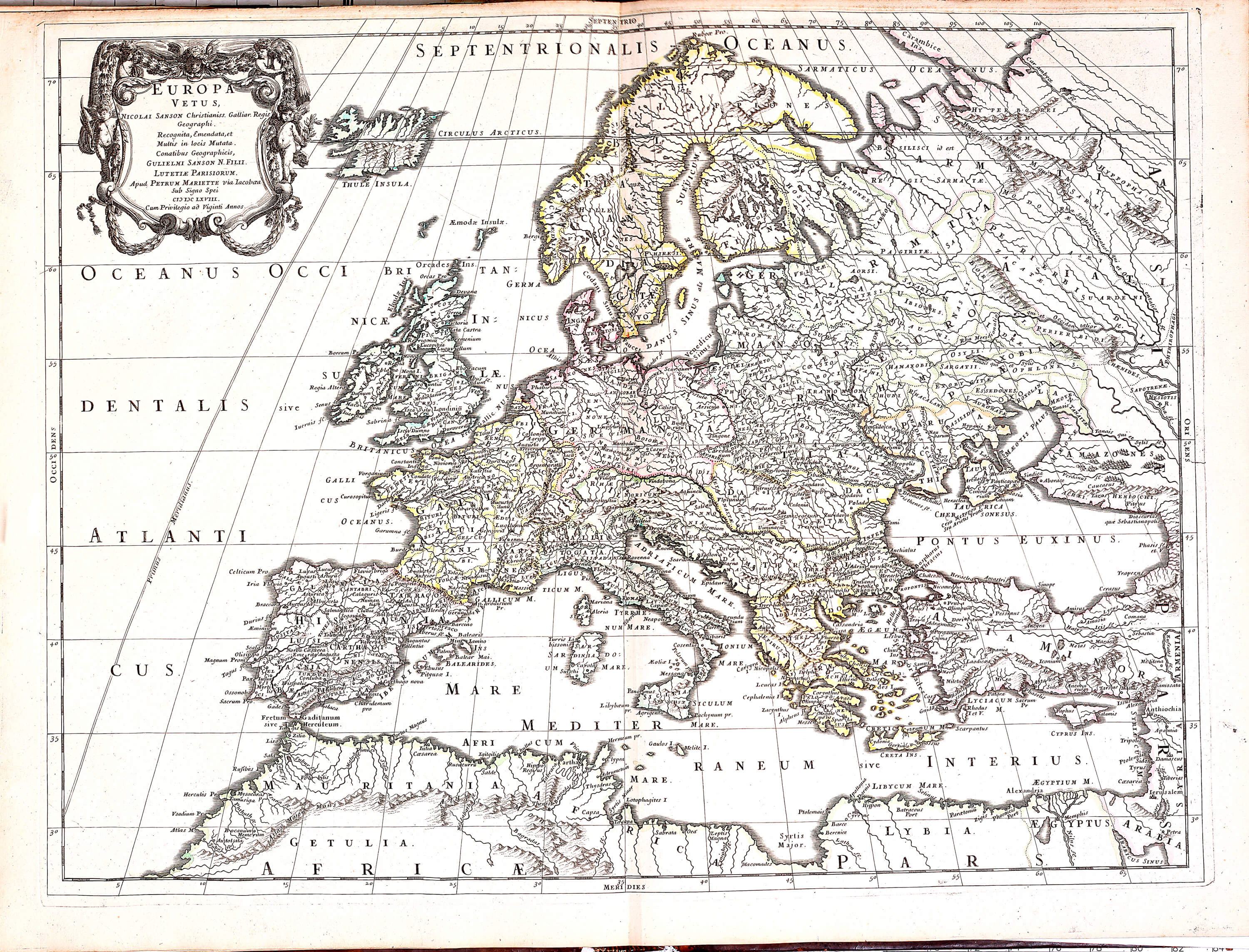
Sanson's influential map of New France, created by the founder of the French school of cartography. The map depicts French colonial territories in North America, including the Great Lakes region, St. Lawrence River valley, and Atlantic coast. A decorative title cartouche features French royal symbols and classical architectural elements. The map shows French settlements, indigenous territories, and early exploration routes. Rivers and lakes are prominently displayed with careful attention to geographical accuracy. This map established standards for French colonial cartography and influenced mapmakers for generations. Elegant copper engraving with period hand-coloring highlights territorial claims and waterways.
Loading print options...
More by Nicolas Sanson
Explore more works from this artist
More from Antique Maps
Explore related artworks in the Antique Maps collection