Museum Quality Print
Available in multiple sizes & formats

Share this artwork:
Africae Nova Descriptio
by Willem Janszoon Blaeu
Artwork Details
Year
1644
Collection
Wikimedia Commons
Medium
Hand-colored engraving
About This Artwork
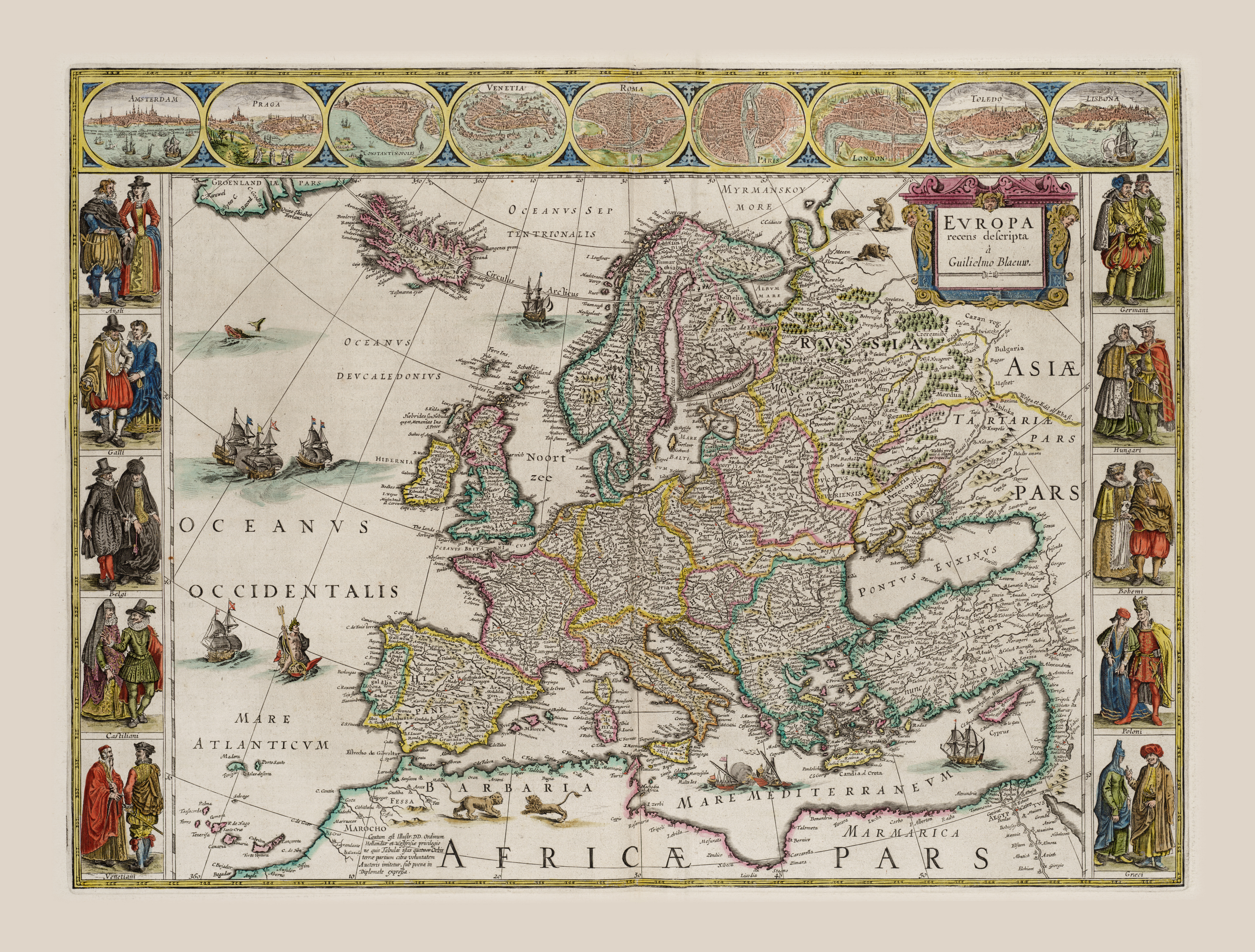
Blaeu's spectacular map of Europe from 1644, featuring elaborate decorative elements characteristic of Dutch Golden Age cartography. The map shows the European continent with exceptional detail, including political boundaries, major cities, rivers, and mountain ranges. Decorative cartouches feature allegorical figures and heraldic symbols. The map is surrounded by vignettes showing European peoples in traditional dress. Sailing ships populate the surrounding seas, and ornamental compass roses embellish the waters. The map reflects the height of Dutch cartographic artistry and commercial power. Exquisite hand-coloring and copper engraving make this one of the most visually stunning maps of the period.
Loading print options...
More from this Collection
Explore related artworks in the Antique Maps collection


