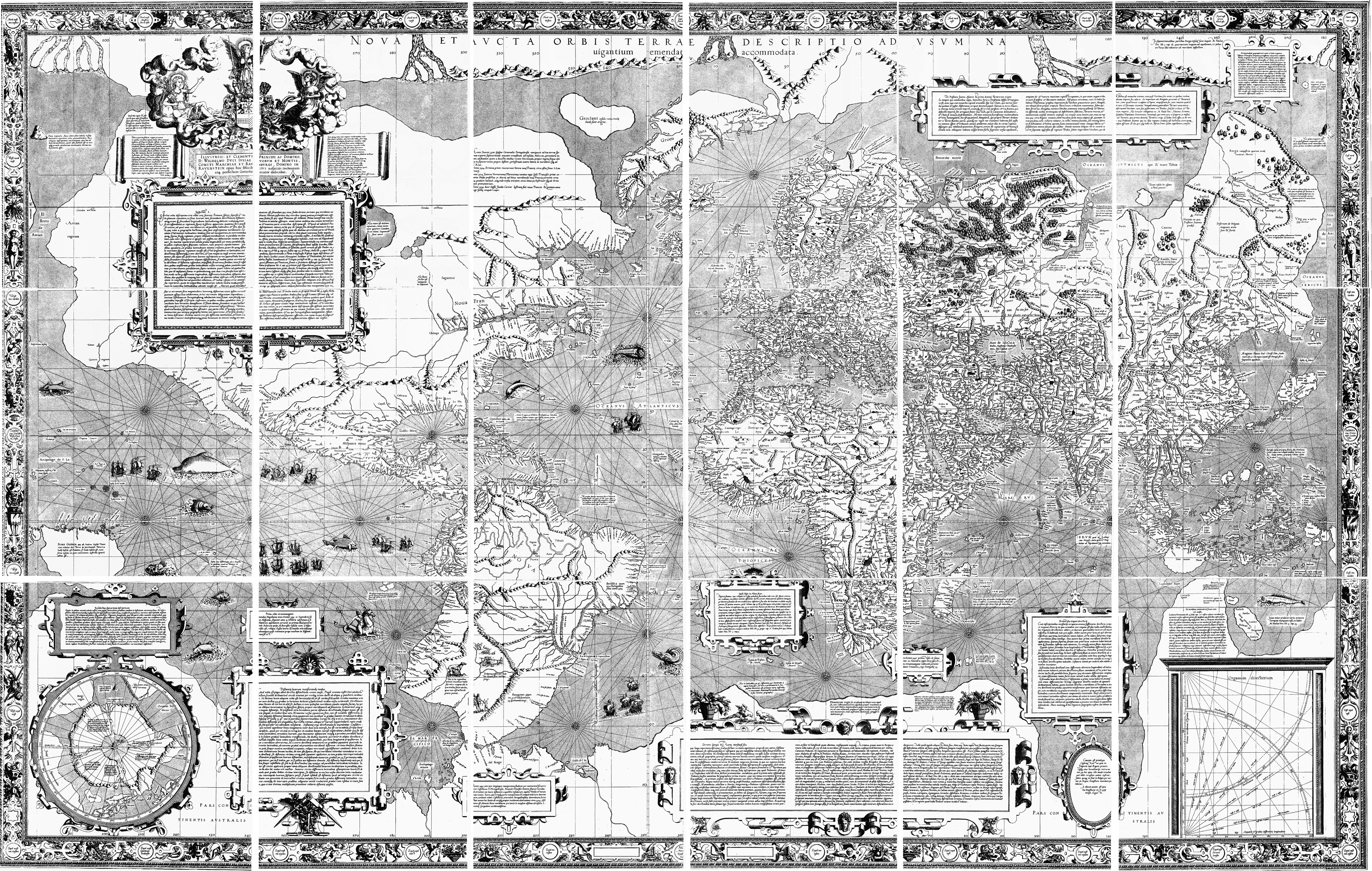
Nova et Aucta Orbis Terrae Descriptio
by Gerardus Mercator
About this artwork
Mercator's revolutionary world map introducing the Mercator projection, which became the standard for nautical navigation. This monumental work features elaborate decorative cartouches with classical figures, sailing ships navigating the oceans, and detailed coastlines of the newly discovered Americas. The map's innovative cylindrical projection preserves angles and directions, making it invaluable for maritime exploration. Decorative elements include wind heads in the corners and ornate title cartouches with allegorical figures representing the continents. The map shows California connected to North America and includes speculative Antarctic landmasses. This composite reconstruction shows all 18 original sheets assembled into the complete world map.
Loading print options...


